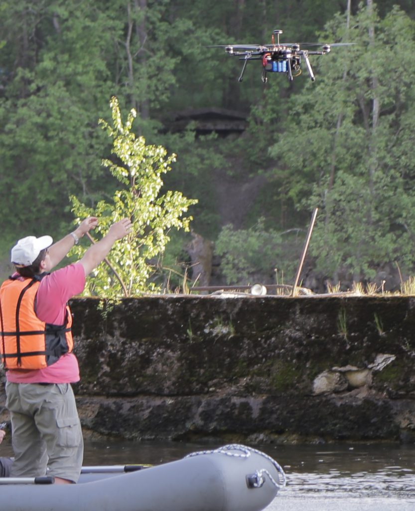
Дистанционное обследование инженерных сооружений с дронов. Результатом обследования является построение трехмерной модели обследуемой поверхности для оценки состояния и подготовки дефектной ведомости. Данные съемки выводятся в виде ортофотоплана обследуемой поверхности в масштабе, готового для загрузки в AutoCad. При выполнении геодезических работ и привязки точность модели составляет несколько сантиметров. По метрической 3D модели можно определить вид дефекта, его местоположение и точную площадь.