воздушное лазерное сканирование +7 921 558-24-44 info@aerostream.pro
1000 рублей за гектар и вы получите рельеф любого участка в местной системе координат!
Сканирование от Аэрострим
Что вы получите?
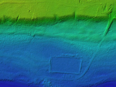
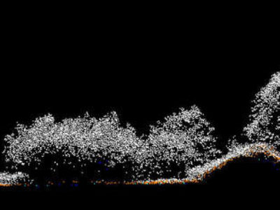
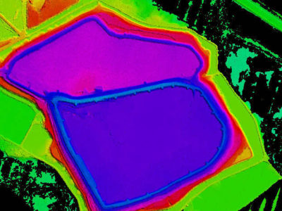
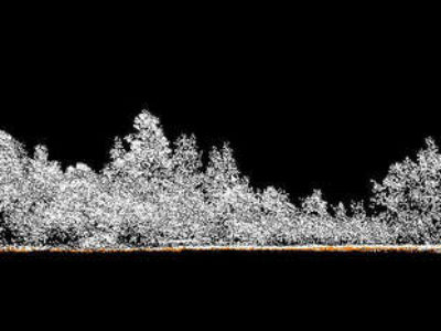
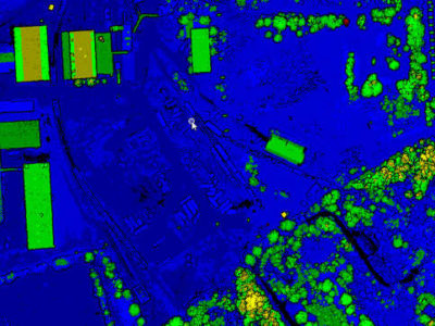
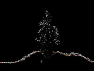
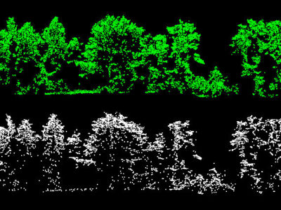
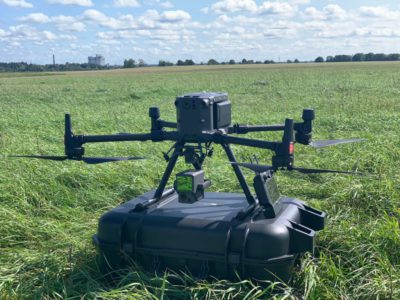
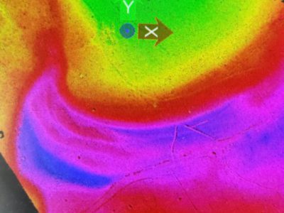
Проводите изыскания на залесенных участках и/или со сложным рельефом? С классической геодезией не вписываетесь в бюджет, а фотограмметрия не дает рельеф? Тогда закажите у нас воздушное лазерное сканирование. Результат в виде классифицированного облака точек по классу «земля», ЦМР, горизонтали в местной системе координат вы получите уже на следующий день после съемки. Производительность от 3 кв км в день или от 30 погонных км в день. Получите наконец истинную ЦМР, а не ЦММ! Для заказов в Северо-Западном регионе скидки!
В 2020-21 гг. нами выполнено более 100 проектов по сканированию участков от 20 до 150 погонных километров
