Обработка ваших данных аэрофотосъемки !ТАРИФЫ СНИЖЕНЫ! создание 3D по вашим снимкам +7 921 558-24-44 info@aerostream.pro
обработка ваших данных в нашем процессинговом центре включает:
- подготовку снимков к обработке, пост-обработку геодезических
измерений (при наличии) - фотограмметрическую обработку данных до создания 3D-
моделей и производных продуктов, совмещение данных
лазерного сканирования и фотограмметрии - экспорт данных данных в AutoCad и другие форматы
сценарии обработки
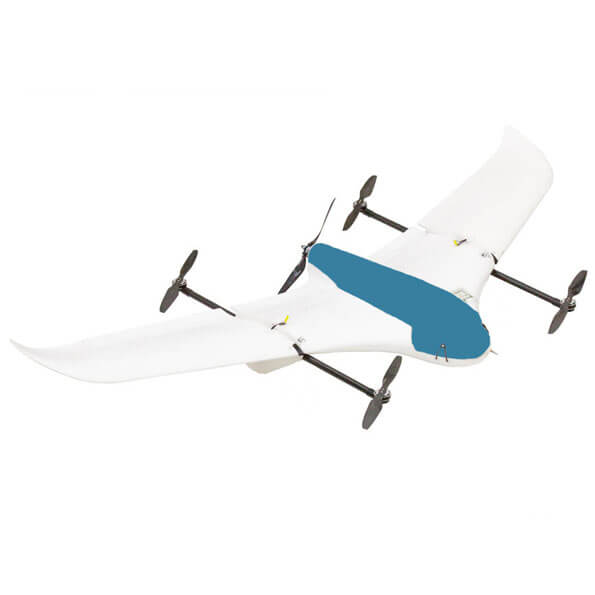
— обработка площадной и/или линейной АФС с любого типа БПЛА для инжерено-
геодезических изысканий, топографических и кадастровых работ
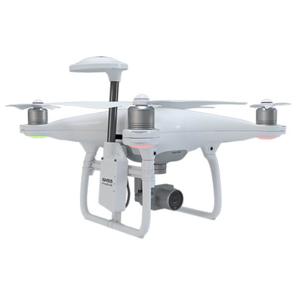
— обработка разноракурсной детальной съемки с дронов, наземной съемки, данных
геодезической привязки, лазерного сканирования для создания 3Д-моделей зданий и
обмерных ортофотопланов фасадов, интерьеров
— обработка разноракурсной детальной съемки для создания высококачественных 3Д-
моделей объектов предметной съемки, моделей для киноиндустрии и музеев
работаем профессионально

uav-design tools
собственная программа для работы
с массивом фотографий и создания
файлов геопривязки
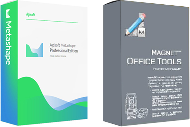
Magnet Tools 5.1.1
для точной обработки
спутниковых наблюдений
Agisoft Metashape Pro
для фотограмметрической обработки,
создания ортофотопланов и цифровых
моделей местности, 3D-моделей
любых объектов.
Reality Capture
для фотограмметрической обработки,
создания высококачественных
3D-моделей по материалам фотосъемки
и лазерного сканирования
для кого это?
Для тех, у кого большие объекты съемки и/или сжатые сроки сдачи материалов
Для тех, кто не хочет тратить миллионы рублей на отдел сотрудников по обработке, лицензии ПО, компьютеры по обработке
Для тех, у кого не хватает опыта
обработки геодезических измерений и фотограмметрической обработки данных.
Для тех, кто не хочет ради небольшого количества проектов покупать дорогое оборудование и софт.
преимущества при обращении к нам
Экономически эффективно
Делаем обработку быстро и качественно. Вы сможете сэкономить свой бюджет на обработку при обращении к нам
Работают эксперты
У нас десятки тысяч часов вложены в обработку данных с БПЛА и фотограмметрическую обработку. Опыт работы в сфере более 10 лет
Современный парк техники
и ПО
Мы располагаем кластером для обработки на основе высокопроизводительных машин с процессорами Xeon, Intel, AMD, 128 Гб RAM, видеокартами GeForce RTX 2080. Компания также является дилером ПО Realiy Capture
примеры типовых проектов по обработке
— получение координат центров фотографирования и создание ортофотопланов на городские поселения и сельхоз территории в масштабах 1:500 и 1:2000 в формате AutoCad. Объем обработки: 150 000 снимков, 100 геодезических логов. Срок выполнения 2 недели.
— создание 3D-моделей 4 зданий для подсчетов объемов работ по реконструкции, создание обмерных ортофотопланов всех фасадов в Autocad. Объем обработки: 12 000 снимков, материалы тахеометрической съемки. Срок выполнения 1 неделя.
— создание высокодетальных 3D-моделей для киноиндустрии. Объем обработки: порядка 10 зданий в т.ч. объекты культурного наследия, 100 000 снимков. Срок выполнения 1 месяц
тарифы на апрель 2020
стоимость за снимок цены снижены на 40%
сценарий 1.
Обработка АФС с БПЛА до ортофото в AutoCad ЦММ, ЦМП,облако точек
снимки <12Мб по 4₽.
снимки >12Мб по 5₽.
снимки >20Мб по 6₽.
снимки <12Мб по 3₽.
снимки >12Мб по 4₽.
снимки >20Мб по 5₽.
снимки <12Мб по 2.5₽.
снимки >12Мб по 3₽.
снимки >20Мб по 4₽.
сценарий 2.
Обработка до 3D-модели зданий, обмерные ортофото
снимки <12Мб по 4₽.
снимки >12Мб по 5₽.
снимки >20Мб по 6₽.
снимки <12Мб по 4₽.
снимки >12Мб по 5₽.
снимки >20Мб по 6₽.
снимки <12Мб по 4₽.
снимки >12Мб по 5₽.
снимки >20Мб по 6₽.
сценарий 3.
Обработка до 3D-моделей для кино, музеев, предметная съемка
снимки <12Мб по 5₽.
снимки >12Мб по 5₽.
снимки >20Мб по 6₽.
снимки <12Мб по 4₽.
снимки >12Мб по 4₽.
снимки >20Мб по 5₽.
снимки <12Мб по 4₽.
снимки >12Мб по 4₽.
снимки >20Мб по 5₽.

