Обучение +7 921 558-24-44 info@aerostream.pro
ВНИМАНИЕ! С МАРТА 2020 ДОСТУПНО ДИСТАНЦИОННОЕ ОБУЧЕНИЕ! ПИШИТЕ НА ПОЧТУ!
ЦЕНЫ СНИЖЕНЫ В 2 РАЗА! СМОТРИТЕ НИЖЕ!
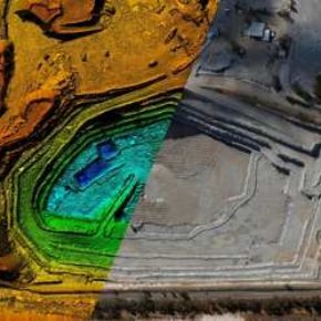
КУРС 1. ПОСТ-ОБРАБОТКА ГЕОДЕЗИЧЕСКИХ ИЗМЕРЕНИЙ С БПЛА И ФОТОГРАММЕТРИЧЕСКАЯ ОБРАБОТКА СНИМКОВ В AGISOFT METASHAPE
Целевая аудитория. Операторы БПЛА, картографы, инженеры, геодезисты, топографы, архитекторы, специалисты ГИС, археологи, специалисты по кадастру и технической инвентаризации
Предоставляемое оборудование. Специально подготовленный ПК для обработки
Продолжительность. 2 дня 14 часов
Стоимость. 28 000 руб без НДС очный курс
Дистанционный курс на 25 000 руб
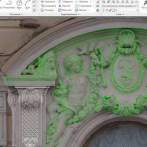
КУРС 2. СЪЕМКА ФАСАДОВ И КРЫШ, ПОЛУЧЕНИЕ ОБМЕРНЫХ ОРТОФОТОПЛАНОВ ВСЕХ ПОВЕРХНОСТЕЙ. ЭКСПОРТ ДАННЫХ В AUTOCAD
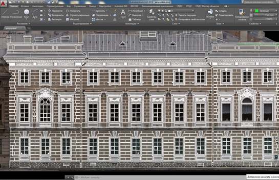
поверхностей с субсантиметровой точностью для последующего
создания обмерных чертежей в Автокад
Целевая аудитория. Операторы БПЛА, архитекторы, градостроители, специалисты технического обследования и надзора, муниципалы, владельцы любительских квадрокоптеров
Предоставляемое оборудование. Тренировочный квадрокоптер. Необходимое геодезическое и фотограмметрическое оборудование. Специально подготовленный ПК для обработки
Продолжительность. 5 дней 30 часов
Стоимость. 55 000 без НДС очный курс
Дистанционный курс обучения на платформе Zoom 25 000 руб. 2дня. (не включает практическую часть)
КУРС 3. ОБУЧЕНИЕ ПО ФОТОГРАММЕТРИЧЕСКОЙ ОБРАБОТКЕ ДАННЫХ В AGISOFT METASHAPE И REALITY CAPTURE
Целевая аудитория. Специалисты по компьютерной графике и VR, 3D-художники, архитекторы, градостроители, специалисты технического обследования и надзора, операторы БПЛА и владельцы любительских квадрокоптеров
Предоставляемое оборудование. Специально подготовленный ПК для обработки
Продолжительность. 2 дня. 12 часов
Стоимость. 25 000 рублей без НДС.
Дистанционный курс 25 000 руб
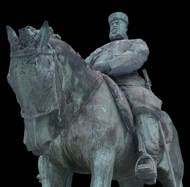
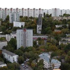
КУРС 4. СОЗДАНИЕ 3D-МОДЕЛИ ГОРОДА
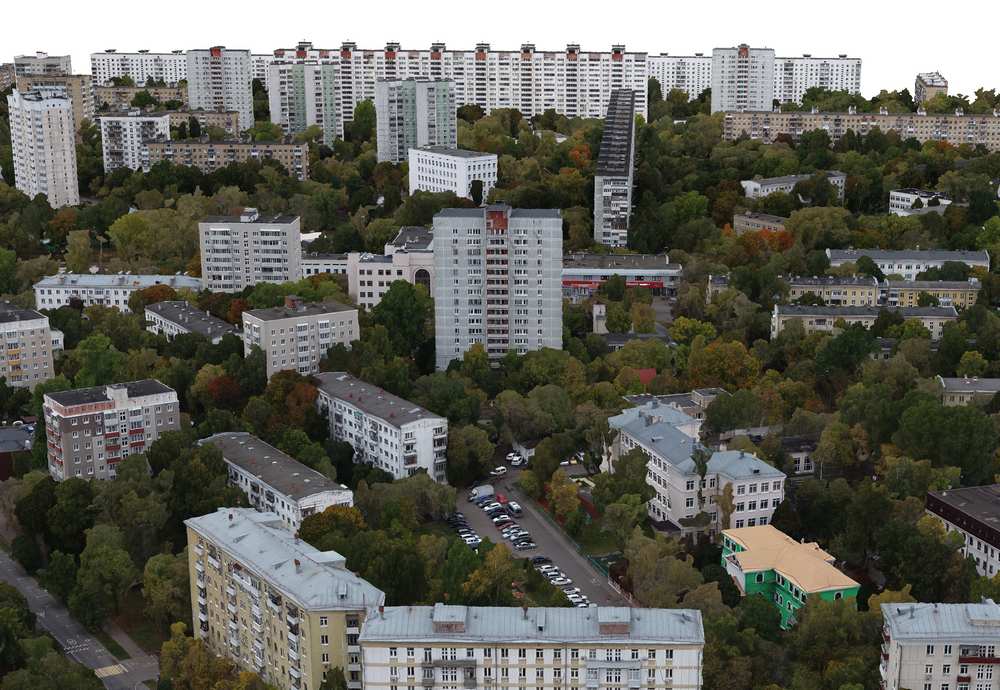
Целевая аудитория. Операторы БПЛА, архитекторы, градостроители, специалисты департаментов недвижимости, муниципалы, специалисты по оценке недвижимости
Предоставляемое оборудование. Тренировочный геодезический квадрокоптер. Необходимое геодезическое и фотограмметрическое оборудование. Специально подготовленный ПК для обработки.
Продолжительность. 3 дня. 20 часов
Стоимость. 50 000 рублей без НДС
КУРС 5. ПРАВОВОЕ ОБЕСПЕЧЕНИЕ ПОЛЕТОВ
Целевая аудитория. Внешние пилоты БПЛА, специалисты компаний, эксплуатирующие БПЛА, специалисты по планированию авиационных работ
Продолжительность. 2 дня. 20 часов
Стоимость. 25 000 рублей без НДС
Дистанционный курс обучения на платформе Zoom 20 000 руб
6. ПАКЕТ ТЕХПОДДЕРЖКИ "ГОРЯЧАЯ ЛИНИЯ"
Целевая аудитория. Операторы БПЛА, специалисты по фотограмметрической обработке
Продолжительность. 20 часов консультаций в течение года
Стоимость. 20 000 рублей без НДС
Вечерний курс по афс и обработке
Продолжительность. Курс проводится по будням вечером с 19:00 в течение 2 недель и включает также два выездных занятия на выходных.
Стоимость. 40 000 рублей без НДС
